It doesn’t take much to convince me to go on a multi-day Sierra backpack, so when I received a text from my friend Joe that read, “leaving my job, but planning to take a little extra time before starting the new one in order to do some backpacking. Do you want to go?” there was no way I was going to say no.
“Got anywhere specific in mind you want to go?” I asked.
“No, I trust your judgment to plan a trip.”
“Cool. I have a spot in mind that I’ve been wanting to get back to for a couple of years that should make a pretty good three day trip. The approach is kind of long, about 12 miles, but I think if we go in out of Rush Creek we don’t have to climb all that much to get in there.”
“Great. Let’s do it.”
Fast forward a couple weeks down the way and we were cinching down our waist belts and filling up water bottles at the Rush Creek trailhead near June Lake. I rechecked the topographic map and confirmed my earlier suspicions: from the trailhead altitude of 7300 feet we had to climb about 2700 feet to get to the basin where we were headed. 2700 feet is not nothing, but when you do it over 12 miles it’s really not that steep of an incline. However with that second glance of the map I realized that a huge part of the climbing was right at the beginning, directly out of the trailhead: nearly 1000 feet up over the first 2 miles in full, direct sun. This was going to be a hot one.
“What’s the name of the place we’re going again?” Joe asked.
“Marie lakes, “I said, “which is different from another Marie Lakes farther south on the John Muir Trail. We have to walk about five or six miles past three reservoirs, then we’ll head up and meet up with the JMT for a short time, then we keep on climbing up into the basin. Should take us six hours or so to get there.”
“Cool,” Joe grunted as we trudged our way up the steep switchbacks below Agnew Lake.
The first part of the trail was pretty, if not exactly spectacular by Sierra standards. Lots of exposed rocky slopes falling off into the three reservoirs: Agnew lake, Gem lake, and Waugh Lake. Afternoon thunderstorms were building as well, giving some cloudy relief to the direct sunlight. It was nice, but the trail was incredibly loose and dusty and I found myself frequently parched. I was really looking forward to getting up into the Alpine zone, where we’d be among the pine trees and rushing creeks.
A few hours walk brought us to Billy Lake where we stopped to chat briefly with some cowboys and were promptly swarmed by mosquitoes. We DEETed up and skedaddled. A short while later we found ourselves confronted by the dam of Waugh Lake. As we followed the trail around the dam, the lake itself came into view. Or should I say some muddy flats came into view. For some reason unknown to us the lake had been drained leaving behind a huge expanse of mud, rocks, and sawed-off tree trunks. We decided that crossing the lake would be faster and easier travel than staying on the sinuous trail through the woods, so we scrambled down onto the mud. The going was really easy, and we found ourselves ankle-deep in mud only once or twice. Reaching the head of the lake we bushwhacked up through the forest for a few minutes till we rejoined the trail. From there another 20 minutes brought us over some cool log bridges to the John Muir Trail.
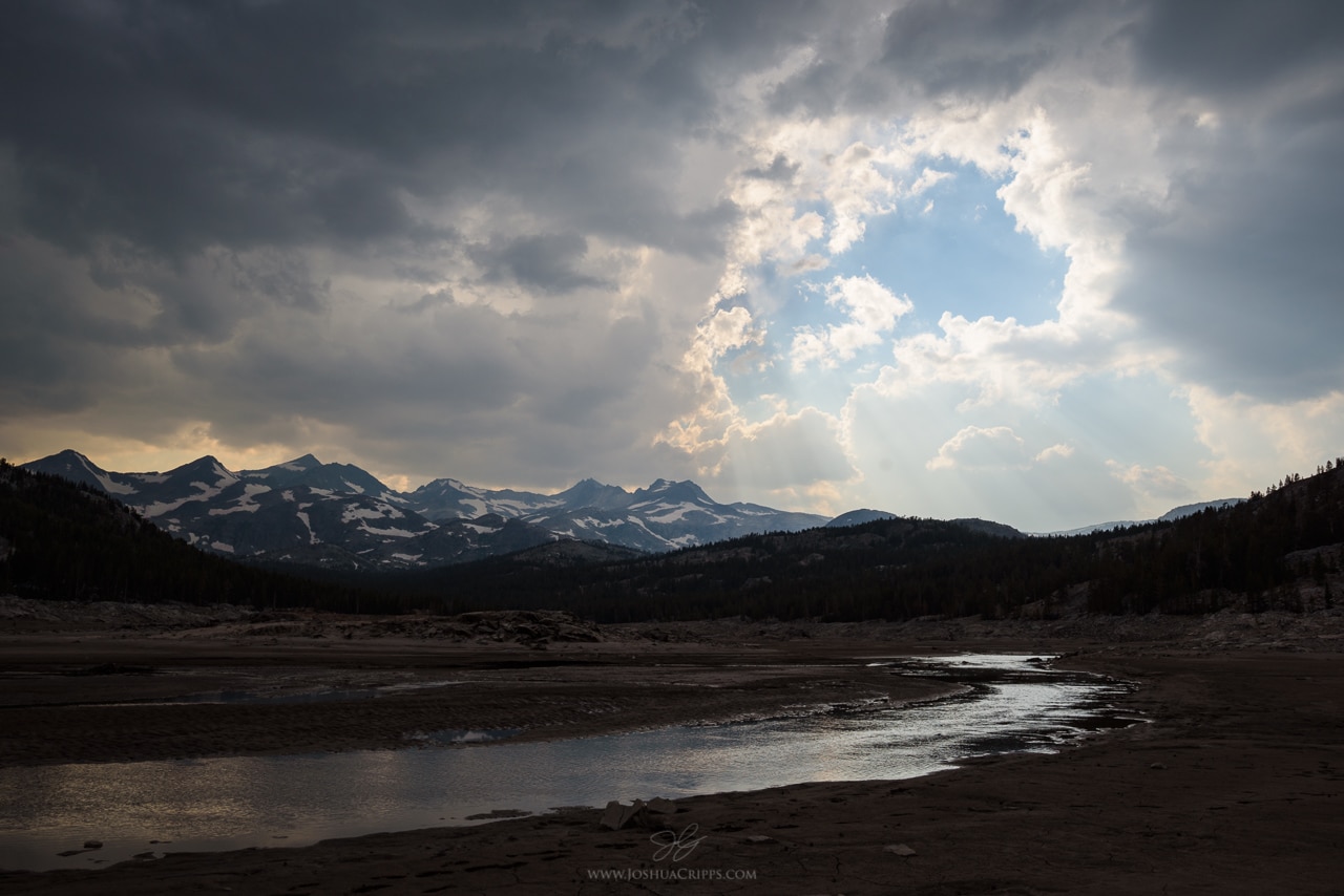
“Almost there!” I shouted. “Just about another mile of climbing up the JMT till we reach our trail junction.” We’d been on the trail about five hours at this point so the news that we only had another hour to walk was very welcome. At the same time we still had another hour to walk, almost all of it uphill. I should mention that it had been drizzling for the past hour and a half or so and as we started to get higher in altitude we noticed more and more tents pitched hurriedly along the side of the trail. Apparently the storming up here had been much worse then we had experienced. We quickly reached the trail junction for our basin and grabbed a snack of dried apricots and dried pumpkin seeds, both of which tasted like manna from heaven. But we weren’t to our destination quite yet so we shouldered our packs once again and started up more switchbacks till we reached the Marie Lakes basin.
I’d been to this Marie Lakes basin once before on a hike from Tuolumne Meadows to Mammoth in 2013. And what struck me about the basin then still held true: it’s an endless expanse of meadows, shallow pools, bifurcating streams, and small cascades. The natural landscaping is so perfect it looks like a landscape architect planned the whole thing. “And we have it all to ourselves. I highly doubt anyone but us is in this basin right now,” I told Joe instants before we came upon a small settlement of four tents. D’oh. “Ah well, I’m sure we can find a camping spot far away from them.” But after 15 minutes of searching it was clear that this cluster of tents was in one of the only flat patches of ground in the area suitable for camping. “Welp, I guess we’re sharing land tonight.”
At this point it was only a few minutes before sunset so I shed my backpack, grabbed my camera and tripod, and practically ran down to the creek coursing through the center of the basin. The afternoon showers had broken and the sky was beginning to open up. As the settling sun streamed underneath the clouds they turned a lovely pink, and the mountains behind me lit up with a brilliant ruby color. I found a pretty cascade and snapped off a few shots. Then as quickly as it had come the color faded out and I retired back to the campsite to help prep dinner.
After a steaming hot dinner of mac and cheese followed by Reese’s Pieces for dessert, Joe and I slid into the tent and crashed out. Next morning we woke to a cloudless sky and yawned our way out of the tent, slapping at mosquitoes and pondering the day’s activities. “See that big mountain at the head of the valley? That’s Mt Lyell, highest peak in Yosemite. It’s only a couple of miles from here, and about 3,000 feet above us. I think there’s a 3rd-class way to the summit, so do you want to try to climb it?” I asked Joe.
Now Joe is a fit guy but he lives at sea level, so the idea of scaling a 13,000-ft peak didn’t exactly have him doing cartwheels of joy. Nevertheless he was up for the challenge. So we packed some snacks and lunch, filled our water bottles from the insanely clear and delicious stream at our feet, and set off across the granite slopes.
Embarrassingly, I had forgotten my map of Yosemite on this trip so I wasn’t sure of a recommended route to the summit. Instead we opted to scramble up to the east ridge and traverse toward the summit from there. We set a leisurely pace up the granite apron northwest of our campsite but soon gained the saddle beneath the east ridge of Lyell. From there it was simply a matter of walking up granite blocks as we climbed higher and higher.
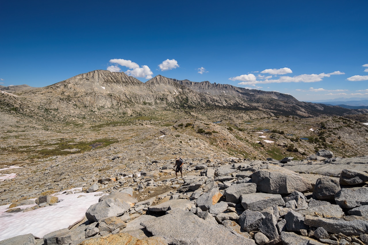
After an hour and a half from camp we came across our first snow field. The sun was already high and the snow was mush. On one hand that meant it was easily traversable without crampons. On the other hand, it meant the going was slow and slippery. We set our sights on a saddle barely 1/4 mile distance and started plodding, sliding, and cursing. 20 minutes later I was off snow and climbing up the class 3/4 rocks to the saddle. Joe joined me a short while later.
Reaching the saddle gave us an excellent idea of what the rest of the climb would entail: likely 3 more hours of snow travel to a distance ridge, where we’d have a class 3 climb to the summit. We’d been setting a relaxed pace for the day so far and we realized that 3-4 more hours of ascending would put us on the top in late afternoon. With thunderstorms beginning to brew and Joe feeling some effects from the altitude we decided this wouldn’t be a prudent course.
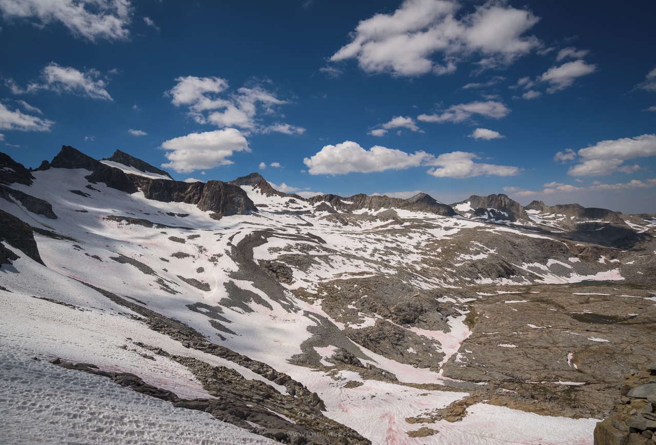
Instead we opted to head up and over a saddle to our southeast and find a cross-country route past the upper Marie Lakes and back down to camp. The saddle was completely snow-filled and we thought it would be quick and easy to follow it all the way up. But the steepness was deceiving from beneath and as we climbed it quickly increased from 25° through 35° and approached 45°-50° at the top. Along with the steepness the north-facing aspect made the snow much icier as we climbed and it was difficult to kick footholds in our hiking shoes. So we opted to jump off the snow onto the crumbly rock on the side of the gully. What followed was a heart-thumping 4th-class ascent through the shittiest, loosest, crappiest rock I’ve personally been on. I could see thousand pound boulders ready to break free from the wall and go tumbling down the hill. In fact, during our lunch break we saw one do exactly that, seemingly with no reason. And now here we were, yanking hard on the same decomposing crap. Needless to say we were both pretty pumped to finally ascend out of the choss and onto the saddle above.
Of course the monumental views of the Ritter Range to the south of us also help buoy our spirits.
Now we’d done the hard part: going up. It was time for the fun: going down. Without any specific route in mind we generally descended down easy 2nd class terrain toward the Marie Lakes, occasionally having to down-climb a class 4 chute, or boot-ski across a snow field.
The clouds had been thickening up and we were both pretty happy to be heading lower instead of higher as the sky got darker.
We stopped for a quick lunch break on some flat boulders and enjoyed a classic Sierra meal of tuna on bagels. How can it taste so good??! Then we were off again, dropping lower and lower. There was a small tarn in the bench below us that was completely rimmed by snow on its south side.
And while the tarn was eye-catching from afar, it was absolutely breathtaking from up close. The mirror-smooth surface reflected the billowing clouds in the sky, while the clarity of the water allowed the rocks beneath the surface to shine through.
Descending further from this tarn we had two options: skirt the large, lower Marie Lake to connect up with a maintained trail, or try our chances at route finding a way directly over the slabs above the basin. We opted for the route finding. We started on rock, but after 5 minutes we able to access a gully still full of snow. It was steep and long and after five minutes of glissading we had dropped another few hundred feet.
From there it was back onto mixed talus and vegetation. Even some fun, 2nd-class slab. Every step brought us lower and lower and before we could blink we were back in the meadows of our basin.
Instantly I was struck again by the impossible perfect landscapes of the Marie Lakes basin. The next five minutes were spent hopping over endless small cascades and small patches of flowers.
Then we were down in the flats, surrounded by meandering streams, meadows flush with wildflowers, and roaring waterfalls.
As we stream-hopped our way back towards camp I continually turned around to check the sky behind me. We were getting on to sunset and even though the dark clouds of an hour ago had begun to evaporate, smoke from fires to the west was starting to fill the sky. As a result, mighty beams of light began to stream upward through the sky as the sun dropped lower.
Around the same time we spied another living creature in the basin, though we weren’t sure what it was. Was it a horse, or a fat person, or a person wearing a horse costume? Turns out it was none of those things, but simply a cold hiker wearing every layer of clothing she brought, including a black plastic garbage bag over the top. We had a lovely chat for a few minutes then trekked that last 1/4 mile to our camp. By that time the sky had cleared and it was starting to get cold. So we whipped up some surprisingly delicious dehydrated Pad Thai, scarfed some more Reese’s Pieces, and went to bed.
The next day, our final day, dawned once again clear and cloudless. And though I wasn’t excited about the possibility of photographing grand landscapes in those conditions I was really keen to get some shots of the innumerable paintbrush that littered the valley floor. I wriggled out of my warm sleeping bag, grabbed my camera, and head up the valley to some of the densest patches of flowers. As the sun came up over the horizon it lit up the heads up the paintbrush with intense oranges and reds. And I had a very enjoyable morning shooting intimates, a kind of photography a rarely indulge in, although I love it.
As the sun gained elevation the ambient temperature skyrocketed and I swapped my down jacket and pants for a t-shirt and shorts before heading back to camp. Joe and I cooked a hearty breakfast of oatmeal and squished mosquitoes before packing our bags up for the long hike out. The first few miles were quite lovely but soon some minor trail woes arose: it was getting damn hot for 10,000 feet, my old old old shoes were giving me blisters, and Joe was feeling tired from the previous day’s activities. Needless to say, neither of us relished the final six scorched and dusty miles of trail on the way back to the car. And we decided for future trips to this basin it would be much better to extend the trip one or two more nights in order to start from a less-sloggy trailhead slightly farther away. But now we know! And there’s great value in that.
In the end the 40 hours we spent in the Basin was well worth the scrubby hike to get there. It is a landscape of impressive and serene beauty. And while the basin isn’t quite as superlatively dramatic as some others in the Sierra it’s nevertheless one of my favorite places. The endless pools and cascades, the flowers, and the manicured landscape all give the area a very unique and stunning character.
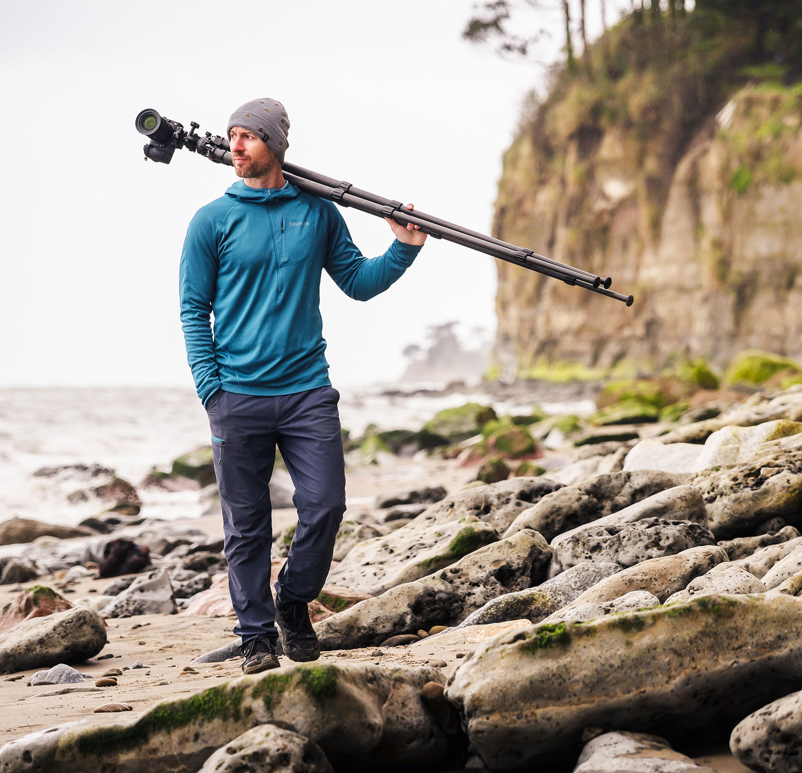
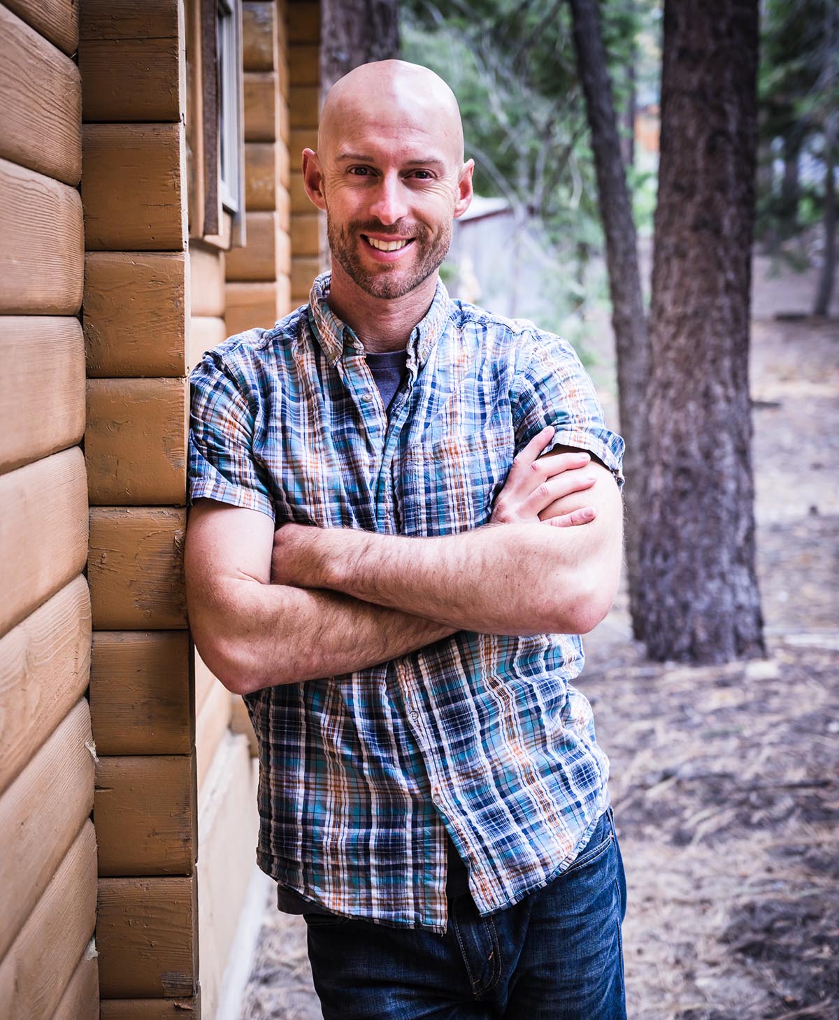
Joshua Cripps is a renowned landscape photographer who has garnered worldwide acclaim for his breathtaking images of our planet’s wild places. His photos have been published by the likes of National Geographic, NASA, CNN, BBC, and Nikon Global.
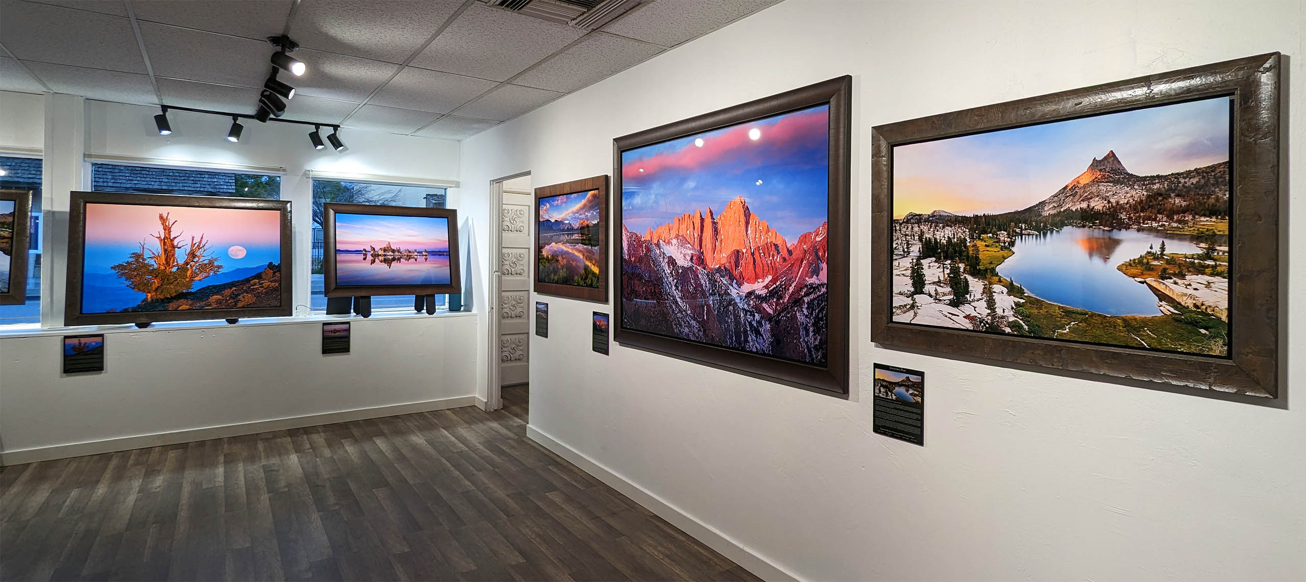
The Mt. Whitney Gallery was founded in 2023 by Joshua Cripps as a way to share his passion stunning landscapes of the Sierra Nevada and beyond.
Set at the foot of the breathtaking Sierra with a view of the range’s highest peaks, the gallery features large format, museum-caliber fine art prints of Josh’s signature photographs.
Course Login | Results Disclaimer | Terms and Conditions | Privacy Policy
© Copyright – Joshua Cripps Photography

14 Responses
Thank you
So nice to see some of these places again through others!
Trying to remember our route from when I was young, in the mid 1970’s …
I thought it was around Florence Lake. Up switchbacks to Sanger Creek.
A stretch on John Muir Trail. Heart Lake…. Marie Lakes…
Some lakes/places I cannot remember now. But so grateful for every
trip, as I live and lovingly thrive upon the experiences and memories now.
Fun side note: When we were camped at Marie for the night…. while sitting
around the campfire I was dive bombed by a huge owl at my head.
I was wearing a floppy rawhide hat with a few feathers and flowers in it…
the owl probably thought it looked like dinner.
Kinda freaked me out for a moment….. !!
LOVE to ALL
… and enjoy and be grateful for what you have been given……
Hi Josh,
Great trip report, and love your images! Towards the end of your article you mentioned going back but finding a different, longer route to Marie Lakes. You probably know the route I have taken a couple of times — Agnew Meadows to Thousand Island Lakes (via HST or Shadow Lake) to Island Pass to Marie Lakes. It’s an easy two-day hike in, or a long one day. Really glad I discovered your website — I’m a fellow MMH guy. Hope to see you out there sometime!
Wayne
where is marie lake??? coordinates?
Hi Rebecca,
As a rule I don’t give out specific GPS coordinates for locations, but you can find this area about 13 miles in using the Rush Creek Trail in the Eastern Sierra.
Good luck and have fun,
Josh
What an awesome trip and incredible photos! Now I have to get a new keyboard as I drooled all over it when viewing and reading. Thank you for sharing! Reminds me of a similar trip I took with my sons in the Bear-tooth Mountains.
*Fine print: keyboard drool damage not included in warranty. 🙂
Thanks for reading!
What a great read, and your photos are absolutely amazing. Thank you for sharing this.
Thank you for reading!
A fascinating account, well written and with just enough tension to make me read it in one go. Beautiful photos naturally, especially the tarn. I was intrigued by your mention of paint-brushes until I realised they were a lovely vibrant red.
Thanks for sharing, it brought back memories of my own hiking days.
Thanks so much, Joe! Glad you enjoyed the tale.
Mmm, oatmeal and squished mosquitos: my favorite! Awesome photos, and I love the trip report. This took me back to my JMT hike this summer; just finished blogging about it over at my website. What kind of photography gear do you take on backpacking trips like these (many lenses, tripod, filters)? And how do you carry it (e.g., outside your pack on a clip or something, or inside your pack)? I ask because I’m still experimenting with my setup and am curious to see how others manage. Thanks for the great read!
Hey Andrew,
Glad you enjoyed the report! Great question on the photo gear…it seems to change every trip. But for the most part here’s my setup these days:
– Induro CT113 Tripod w/ Acratech Ballhead…weighs about 3.5 pounds. I’m also working on a design to use my trekking poles in conjunction with a monopod to have an ultralight tripod. Still prototyping.
– Nikon D750 w/ Nikkor 18-35mm lens attached to my pack via a Peak Design Capture Pro.
– Inside my back in a small stuff sack I also carry a Nikkor 14-24mm lens, and either a 50mm f/1.8 or my 70-200mm f/4 depending on how heavy my pack is already and how many miles I’m covering on the trip.
– I also bring one extra battery (more if the trip is longer than 4 days) and a few memory cards, plus a rocket blower and some lens wipes.
– Filter-wise I bring 77mm screw-ons, a CPL and a 10-stop ND. It means no filters for the ultrawide lens but I really don’t want to haul those big mothers around.
All in all I’d say it’s about 10-12 pounds of gear. Not tooooo horrible. Take care and happy hiking!
Josh
Beautiful photos and trip report, thanks! When I hike the Rush Creek trail, I like to start very early, as soon as I can safely see the trail. Otherwise going up the switchbacks in the summer sun is brutal.
Cheers, Bruce! Yeah, that’s a really smart tactic for Rush Creek. It can be a pig of a trail!